Day 7 Bweeng to Boggeragh Wind Farm
Length: 22km
Time: 5 hours, 39 minutes including lunch and breaks
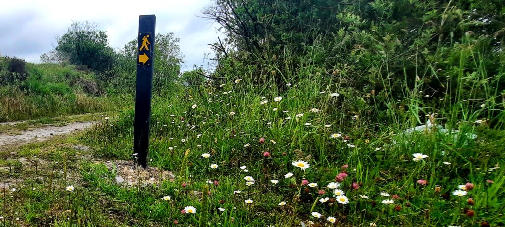
The last time we were in Bweeng, we had left the car parked at the church yard which was about a kilometre away from where the Blackwater Way finishes up. No longer rookies, this time we parked in the carpark of the Bweeng Tavern which is right beside the signpost for the Duhallow Way.
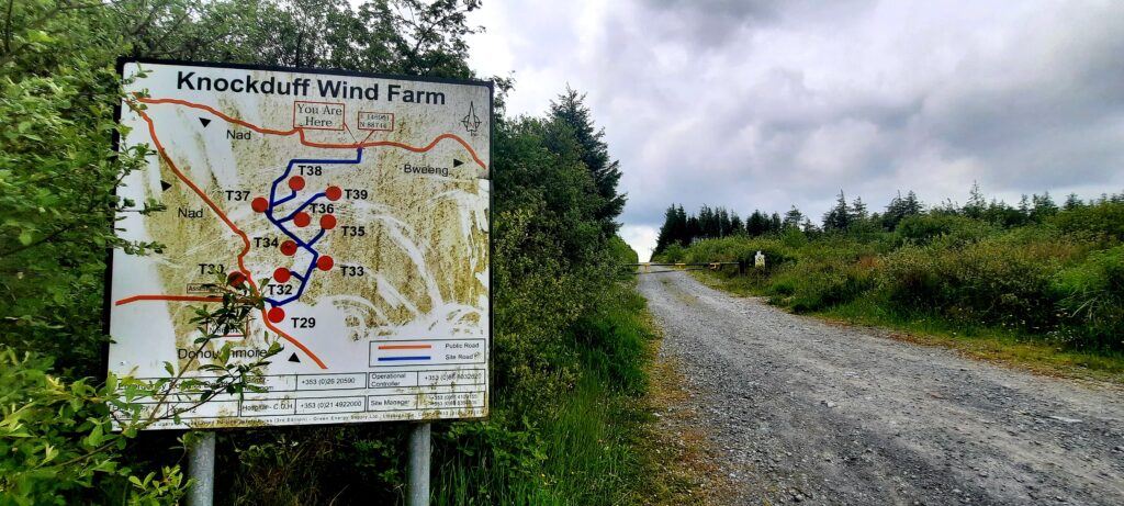
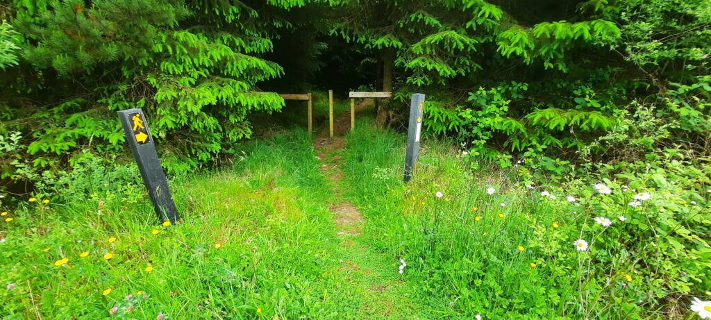
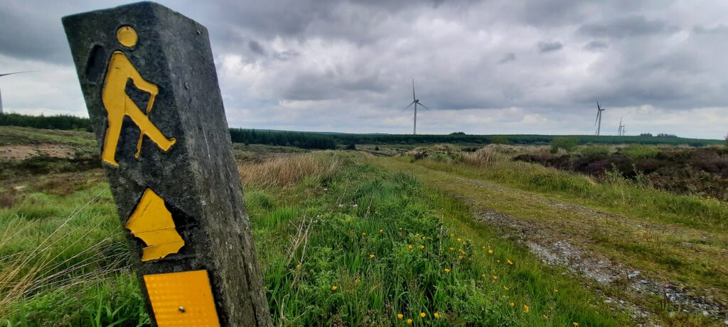
A short walk along the road took us to a forest entrance and this signpost for Knockduff Wind Farm.
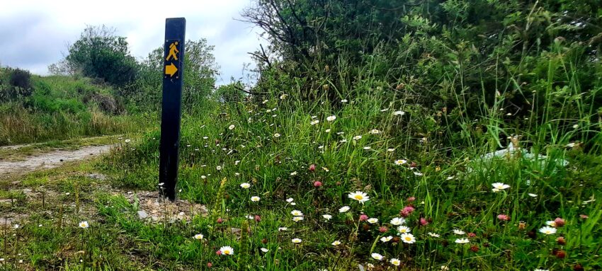
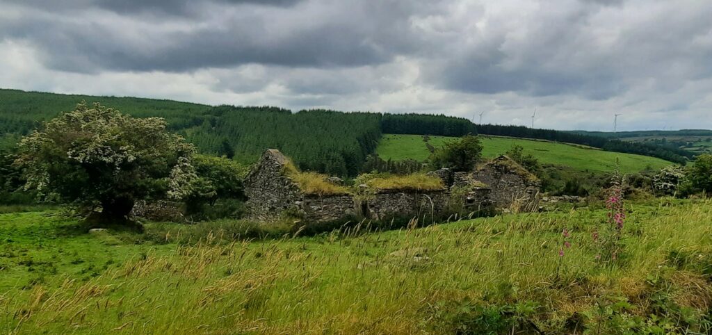
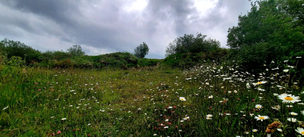
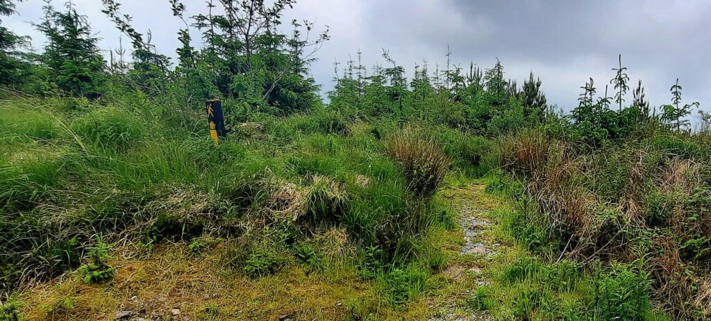
This section of the Blackwater Way/Duhallow Way is another nice one with quiet country roads, forest tracks and some bog.
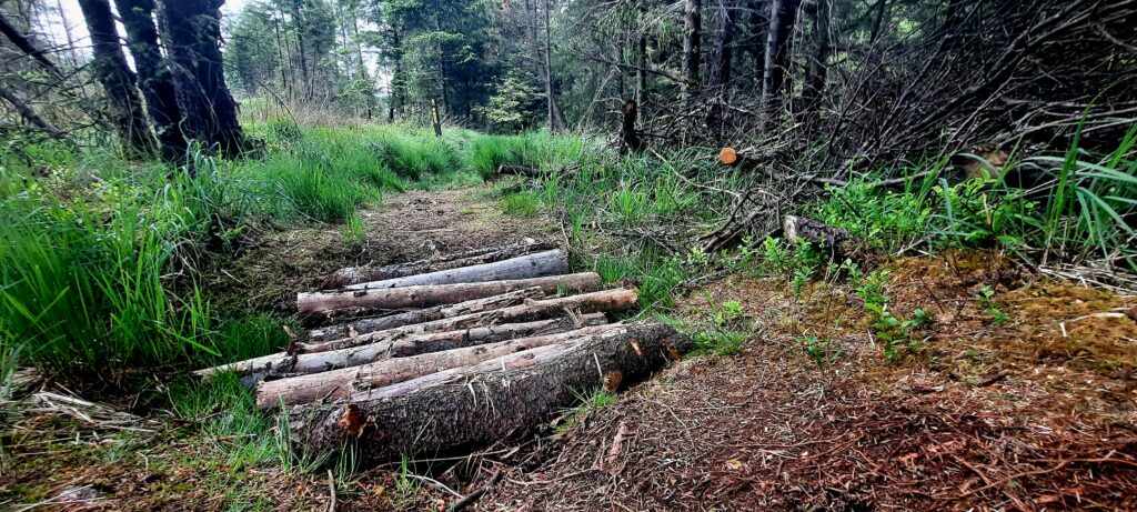
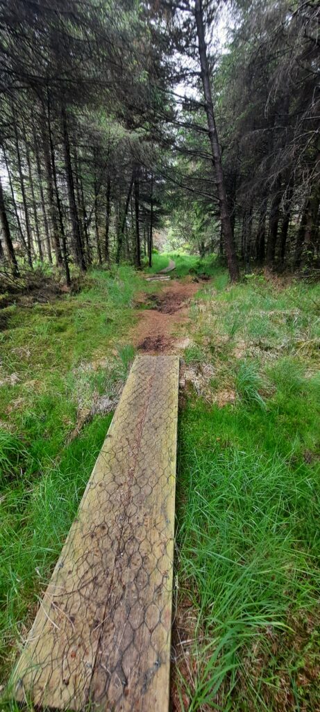
The small gateway below took us to a great track that was like an obstacle course. Once again, we were glad we were wearing boots. In fact, boots would be good for most of this section due to parts of it being fairly muddy.
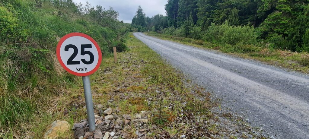
There was a length of gravel road through the woods here where about 100 metres was marked with a speed limit of 25 km/h. We couldn’t understand why this section only would be limited. If you look carefully you can see the next 25km/h sign at the other end of the road in the centre of the photograph.
It wasn’t long before we were back onto a narrow uphill trail again.
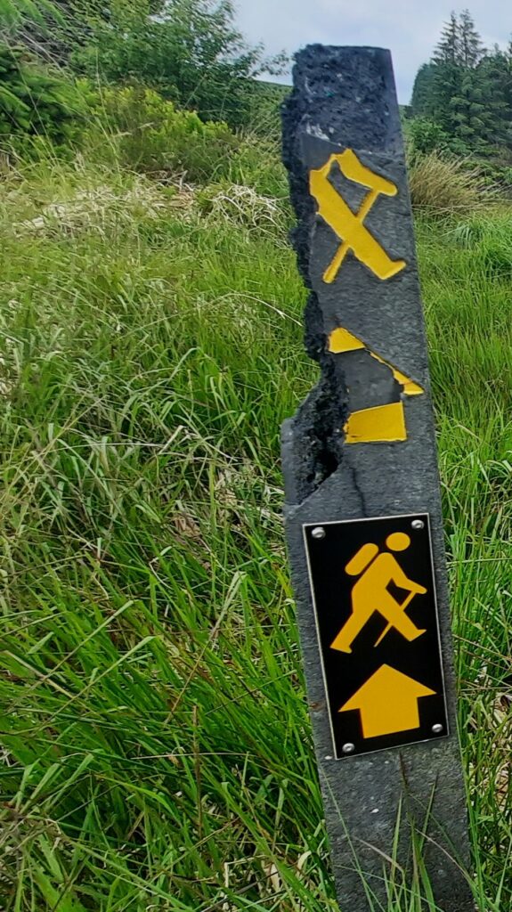
Looks like someone got hungry and thought they’d take a few bites out of the way marker below.
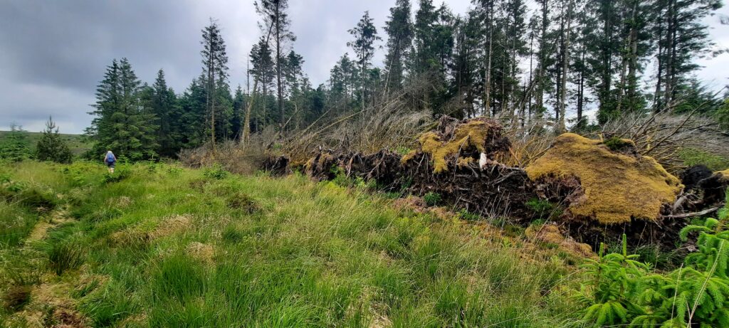
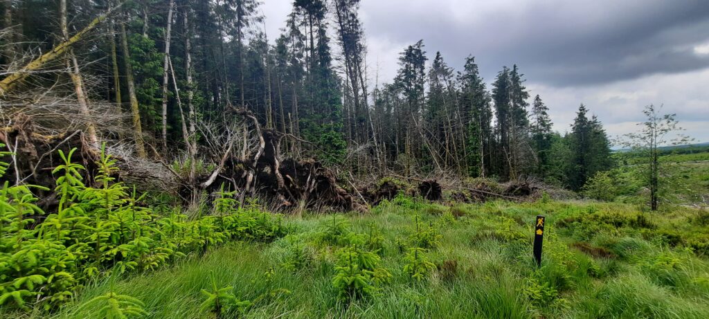
I should have tried harder to take a photograph that would show how impressive these uprooted trees were. A whole row of the had been turned onto their sides.
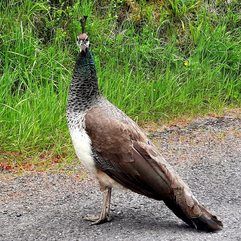
I can’t finish this post without mentioning the poor little peahen we saw around Nadd. We stopped and asked a local man about her as she’d been on the road that morning, and was still there that evening when we were driving back to Bweeng. The man said that everyone was talking about her and that she’d probably been dumped. He said that if a fox didn’t get her, a car would. How could anyone do such a horrible thing to a poor defenceless animal like that?
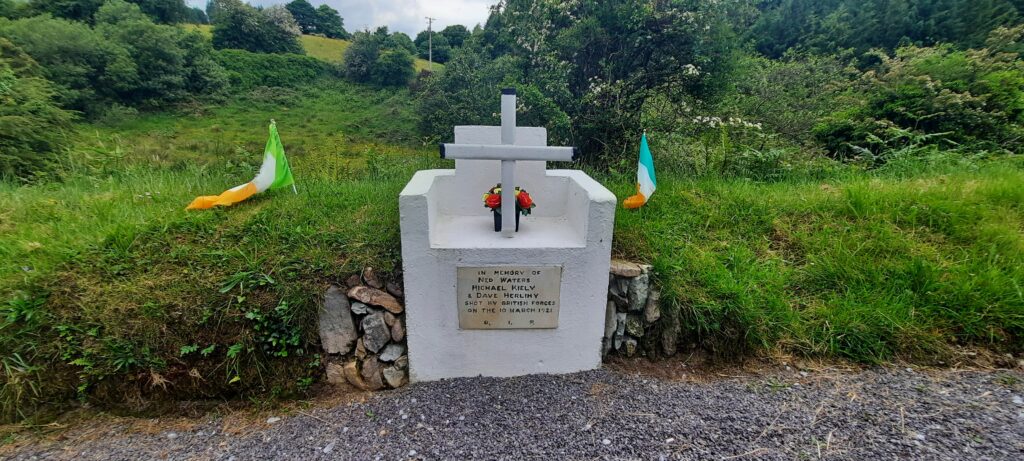
Also worth a mention is this memorial also at Nadd where three volunteers were shot by British forces. There’s a very good article here which gives the background to the events.