Distance: 26km
Time: 11 hours
When I originally signed up for this guided hike, I didn’t really believe that it would take ten to twelve hours to walk it. Sure, the guide posted enough advance warning on Facebook about the distance, and relayed, repeatedly, the fact that the trail was quite wet. But I thought seven, maybe eight hours at the most would get us from Letterkeen (the start point) to Bangor, Erris (the finish).
Wettest Trail in Ireland?
How wrong was I! Before I even begin to describe the route, let me pass on the warning that I did not heed – it’s the wettest, boggiest trail in Ireland, guaranteed to leave your best boots soaking wet (unless you choose to walk it after a long drought).
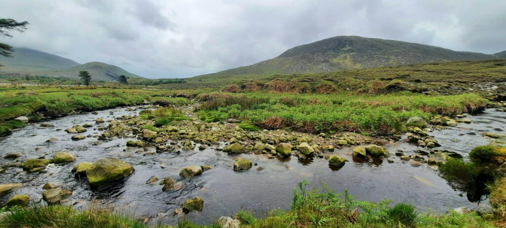
Our little group of eight started out at 9:30am from the ‘Brogan Carroll’ Bothy at the trailhead outside Newport in Mayo and began our hike. We marvelled at the flora and fauna and the views along the way.
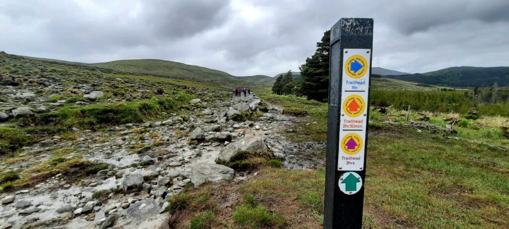
As we walked on, we left the “blue arrow” for the Bothy Loop behind us, and eventually passed the last of the way markers for the Letterkeen and Aroher Loops also.
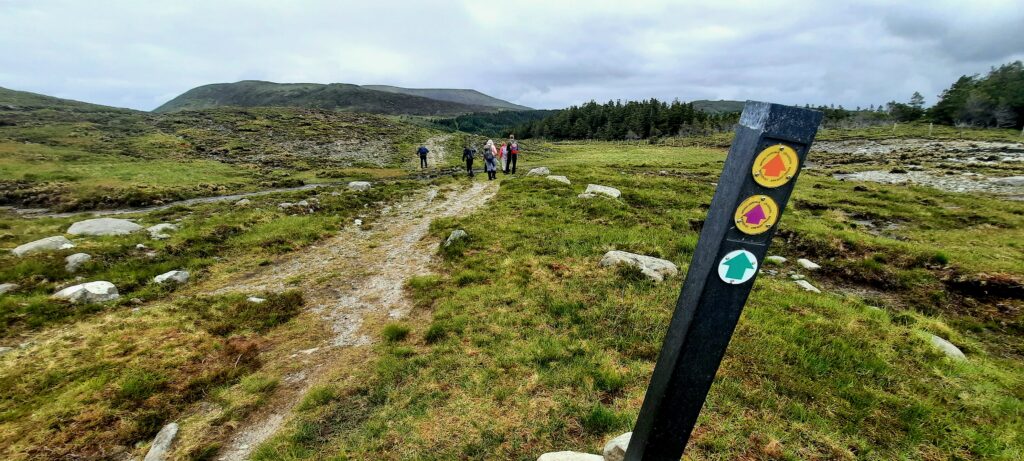
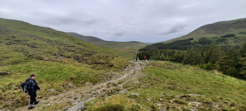
We walked along stony tracks that we told ourselves were probably the most difficult part of the walk. It was great to be getting that over and done with early in the day, and to be looking forward to the soft bog underfoot.
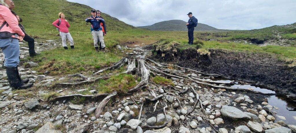
Our guide gave us lots of information on the area and the bog. He stopped to show us this tree at one stage that some of us thought was bog oak. It was actually Scots Pine, as “bog oak is black”. I won’t forget that, or that the little circles of lichen on the rocks are at war with one another. I can never look at a lichen covered rock again without wondering who’s winning.
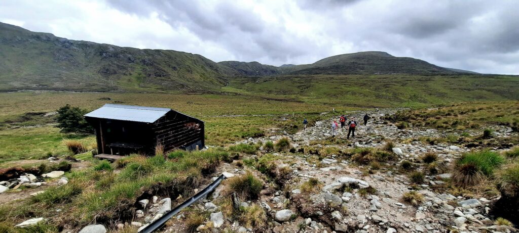
After what seemed like 11 or 12 kilometres, we stopped at this small Mountain Meitheal shelter for a quick bite to eat and a rest of the legs. Imagine my shock when I checked the Viewranger app and realised we’d only walked 4km in two hours.
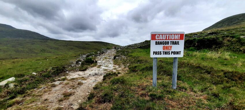
We left the shelter and continued on our journey. The sign below should have been warning enough of what lay ahead. After this point, there was no return.
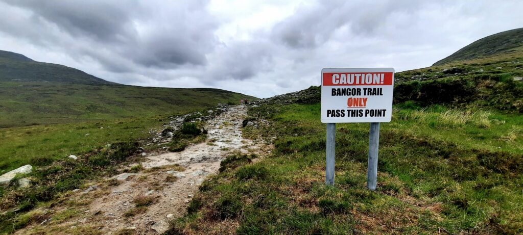
We came to the lovely soft bog underfoot and things were good.
We met a few groups coming the other way and I felt sorry for them that they had all that stony path still left to walk. At least we had the hardest bit over with.
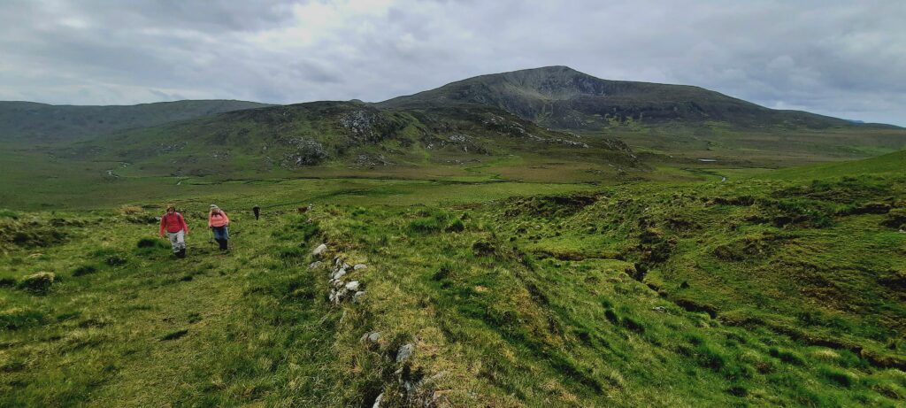
My pity for the folk we had met was short lived when the lovely soft peat we were walking over turned into wet bog. And, when I say ‘wet’, I mean I have never encountered such a wet bog in my seven years of hiking over bogs.
We weren’t half way into the hike when I had to change my socks as they were saturated. Unfortunately my boots were too, despite the gaiters I had on, as my feet had plunged calf deep into watery bog holes several times. Indeed, out of the group of eight, only one person claimed, on reaching our destination, that their boots had remained dry.
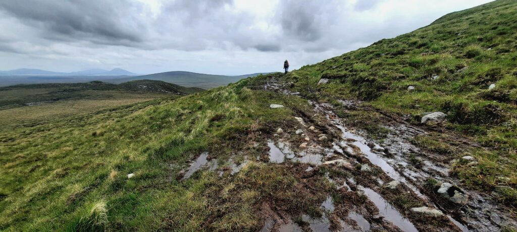
Apparently, the Bangor Trail is an old drover trail – animals were moved from Bangor, Erris, to Newport for the market. I wondered how many days it took to move them, and if they were any lighter when they got to the other side of the bog? And if they were any lighter because their feet had fallen off. I wondered how much lighter I would be by the time I got to Bangor.
We came to the bridge spanning the Tarsaughanmore River. From a distance it looked like the Golden Gate bridge in San Francisco. Apparently the bridge that was there before washed away with the strength of the water.
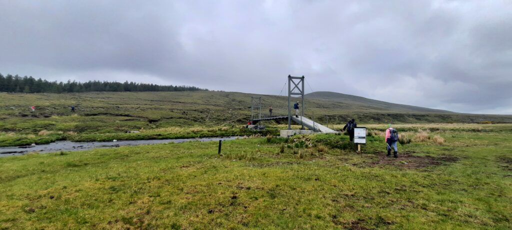
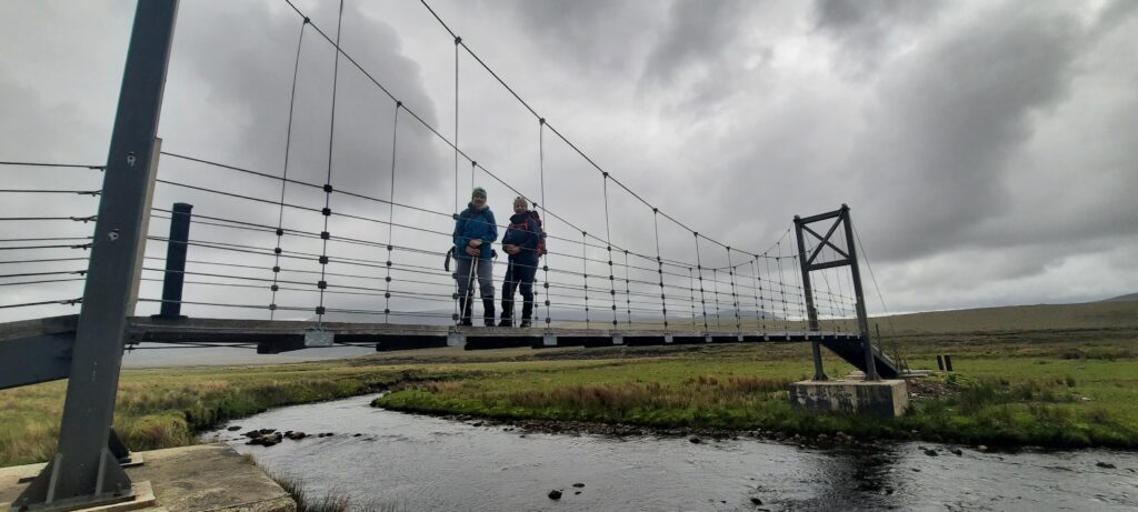
Once we’d crossed the bridge, we found out we had seven more kilometres to walk and that it would take us three hours to walk it. I thought to myself that it had better only take us two as I didn’t think I could possibly walk for three more hours. My feet, now wet again, felt like they were about to fall off.
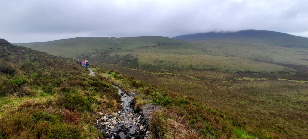
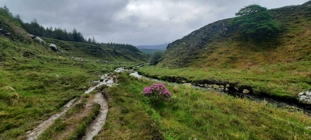
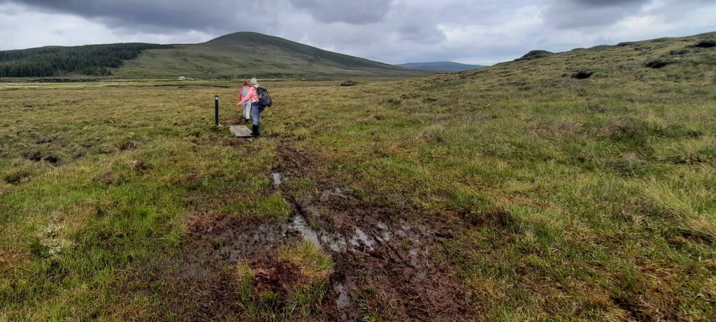
The photo below is the last photo I took on the Bangor Trail. I think it shows the watery, boggy environment that we had to contend with throughout the latter half of the walk. I was tired from the 26km itself, and from having to navigate around deep wet bog into less deep bog.
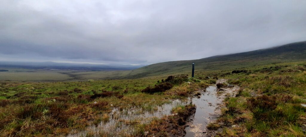
We were about two kilometres from Bangor when we could see houses ahead of us, but we were still navigating through wet ground, and it had started to rain too, so I wasn’t feeling too joyful.
But, when we started to descend downhill on a track that was once more stony rather than boggy, and I could see our bus waiting to take us back to Letterkeen, I forgot about how exhausted I was and began to walk faster. Which wasn’t actually very fast.
The Bangor Trail Review
I have, in the past, had such experiences on walks or on mountains, that have resulted in me saying those famous last words “never again”. And I have, indeed, gone back and done those walks and climbs again. However, the Bangor Trail is not one of those walks. It’s done now. I enjoyed the scenery, the interesting things I learnt from our guide on the walk, meeting the other walkers, the chats along the way, and, of course, the coffee in the outdoors.
But, once is enough for me to do the Bangor Trail as it’s a long slog. Terms like (and I quote from the guide’s own website) “boggy underfoot conditions”, “strenuous”, and “generally demanding underfoot” should give an indication of what’s involved.
It’s a challenge and that’s what drew me to it, and I’m happy to have done it. But….never again!!
