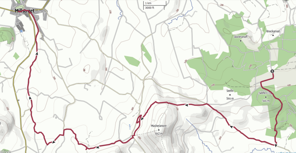
Day 8: Boggeragh Wind Farm to Millstreet
Distance: 25.3km
Time: 6 hours, 53 minutes including lunch and breaks (Moving Time 5 hours, 40 minutes)
I think this was one of the nicest sections of the entire Blackwater Way that we walked, despite the road walking at the end. The tracks were easy to follow with stunning views, and there were so many places of interest along the way – a stone circle, a well, and a fabulous mural on the side of a pub, to name a few.
Nothing pleases me more than to see a stile leading to a handy trail at the start of a walk. We were onto a winner on this section.
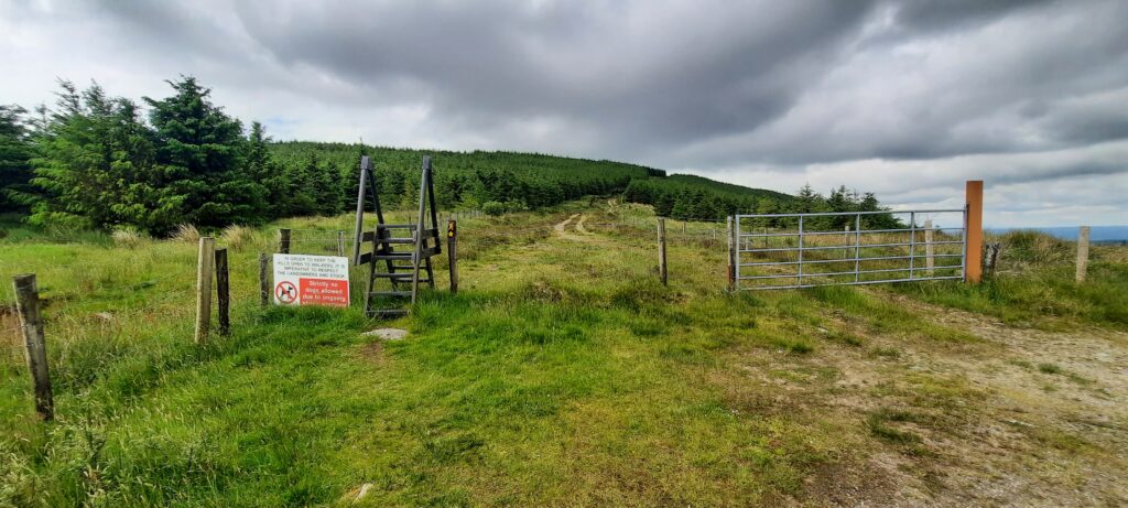
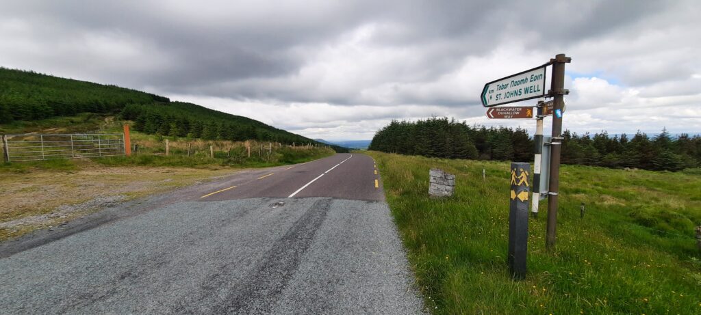
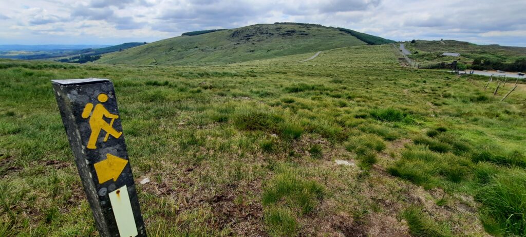
We had no problems seeing the waymarkers. The Duhallow Way is very well marked with the next post always in sight.
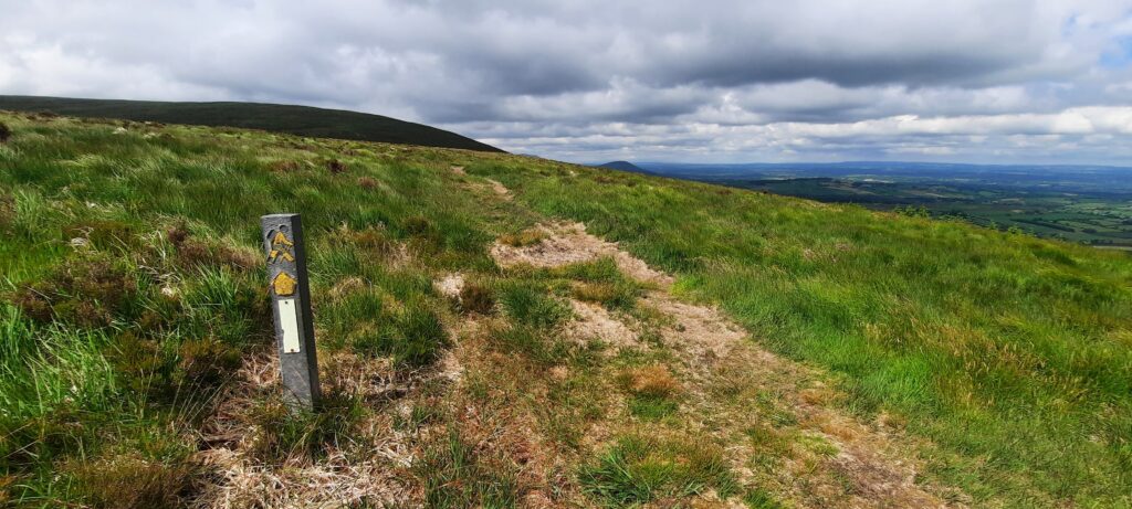
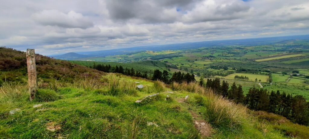
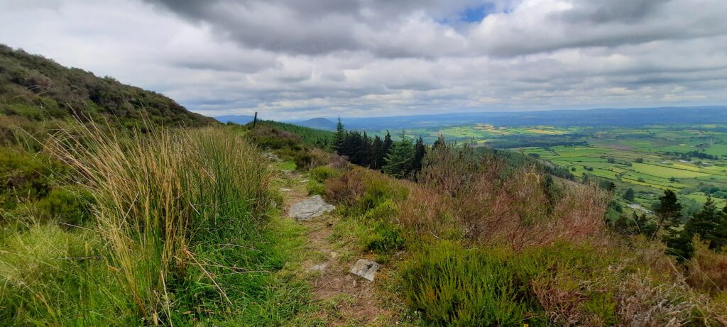
The views from the track over the countryside were beautiful, and, thankfully, the weather stayed good for us.
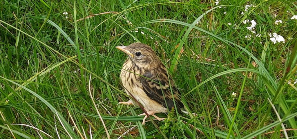
We came across the poor little fellow above who seemed to be missing a few tail feathers. He was flitting about but never moved very far from us. We seem to be developing a habit of coming across lost and injured birds.
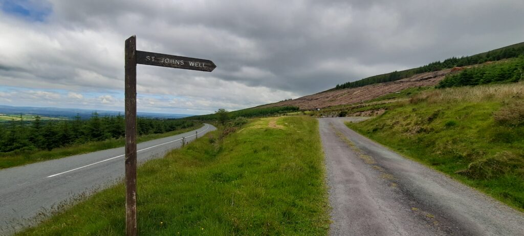
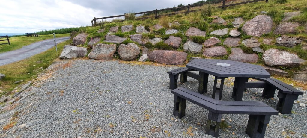
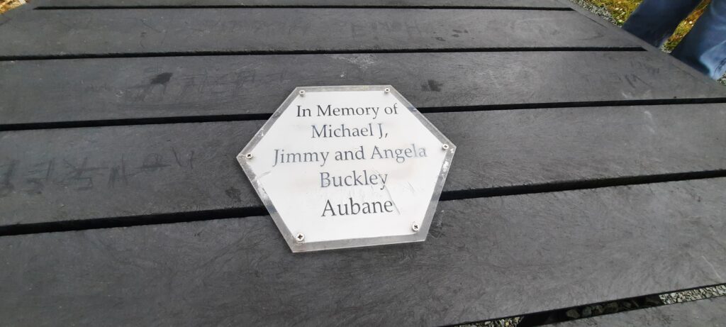
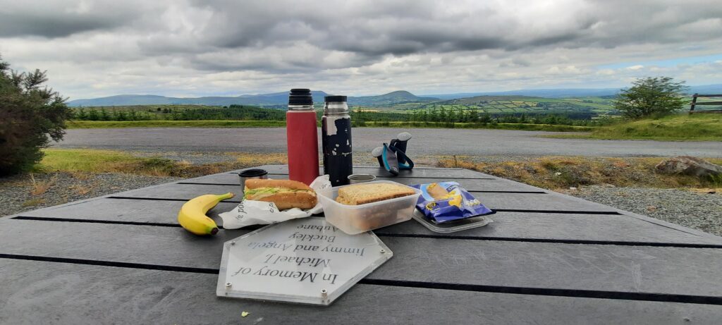
St. John’s Well was where we stopped for lunch. We couldn’t have picked a better spot. There was a table and bench set in a lovely sheltered spot, just below the well.

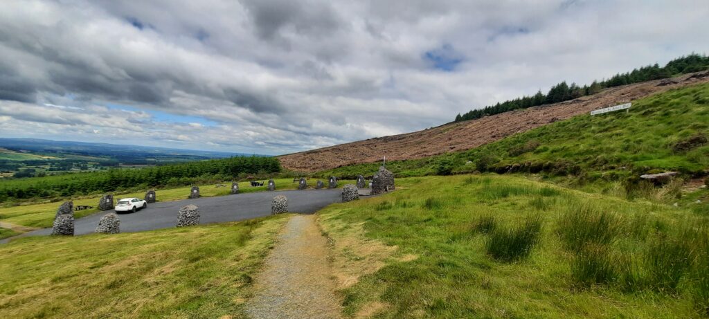
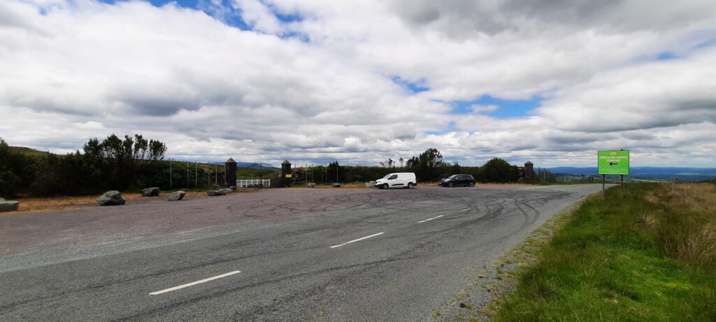
We waited for the white car above to move off so that we could take a couple of photos, but the people in it seemed determined to stay there with the brake lights on. Maybe they thought we were going to run off with the well or the statue or something. But sure, after three hours of walking over hills, and another three hours to go, we were just about able to carry ourselves.
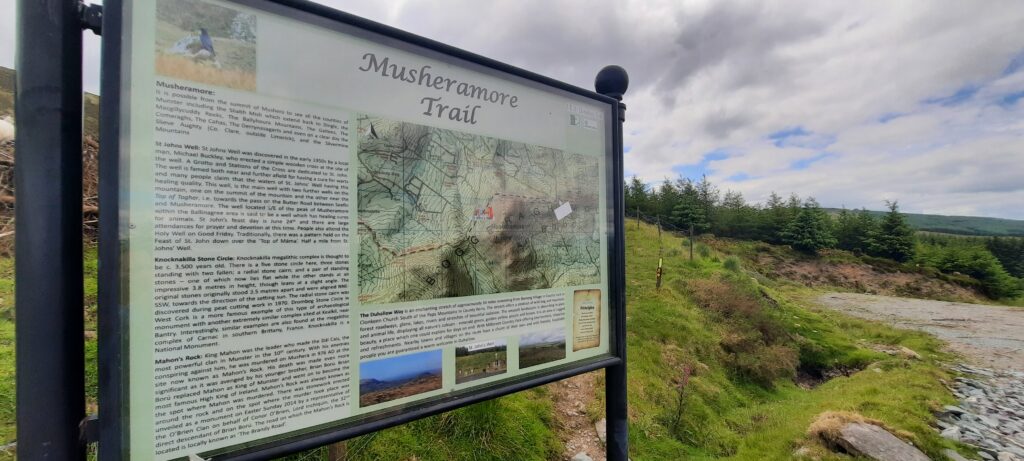
If you had time to spare, you could run up to the top of Musheramore and back down again to rejoin the Duhallow Way. It wasn’t high on our list of things to do at the time as we just wanted to follow the trail.
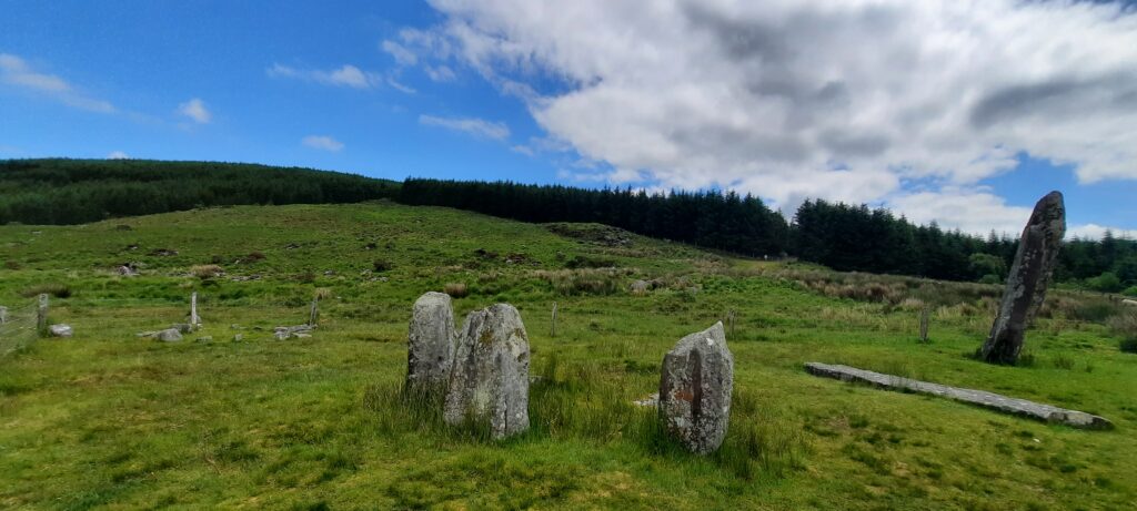
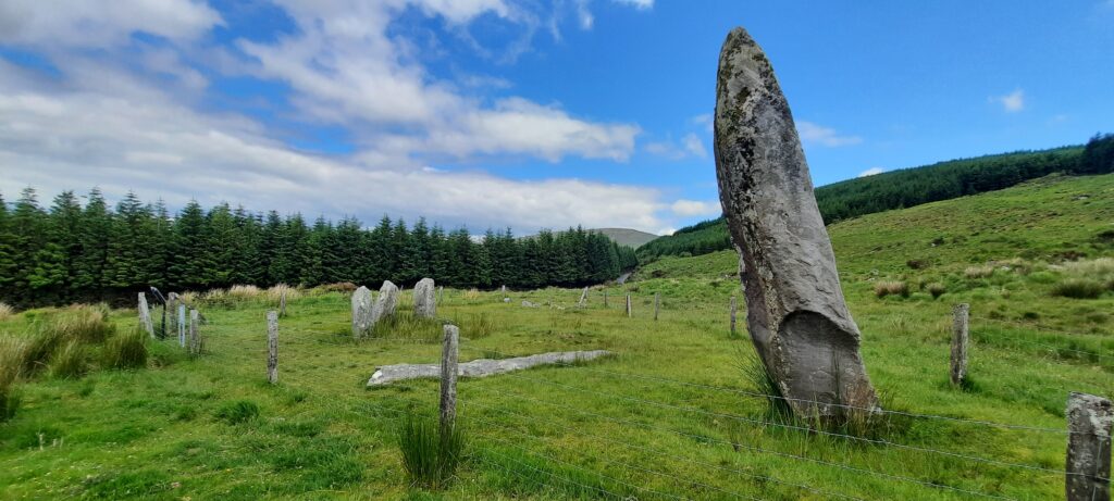
We had seen a couple of signs for Knocknakilla Stone Circle along the route, but still hadn’t come across it, so when we came down onto the road after skirting the bottom of Musheramore, and I saw the rocks outside the Millstreet Country Park entrance, I jokingly said that I hoped they weren’t the stone circle.
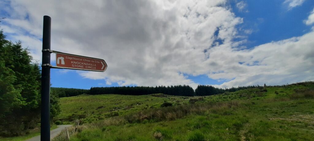
It wasn’t that much further on when we came across another sign for Knockavilla stone circle, and we had our second coffee break on one of the fallen stones.
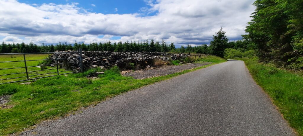
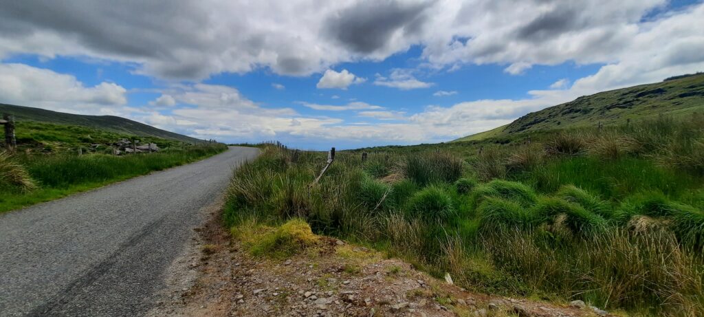
The remainder of the walk was mostly road which can be very tiring underfoot. I’d suggest that if you’ve a light pair of runners, then bring them in your backpack so that you can change once you get down off the hills.
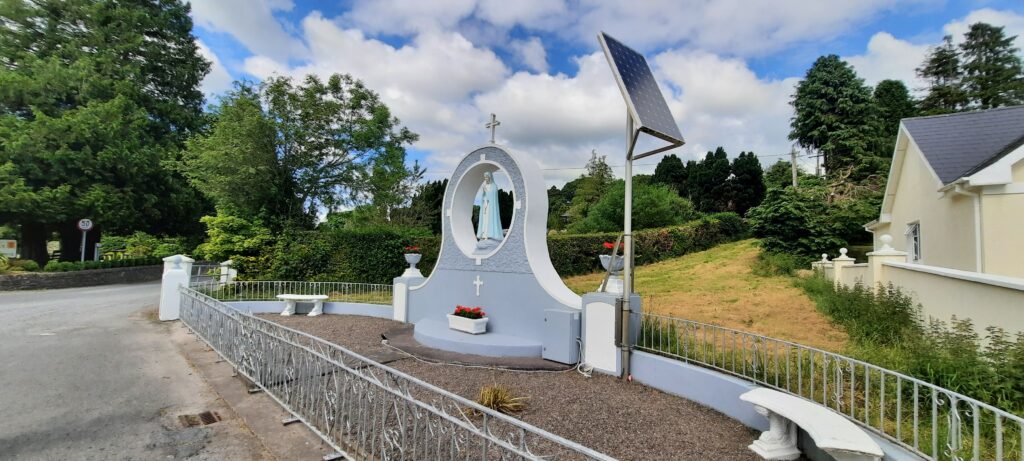
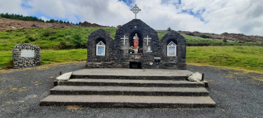
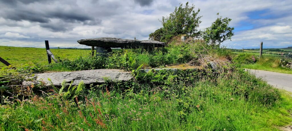
This little grotto is on the right hand side of the road as you walk into Millstreet. There’s a small grassy area opposite with a bench where you can stop for a break (as we did) before either walking the next section of the Duhallow Way, or walking into Millstreet, itself.
As we had parked a car in Millstreet that morning, we turned up right, and headed back into the town.

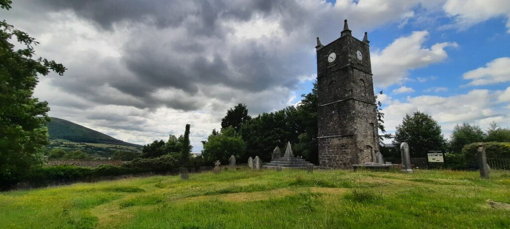
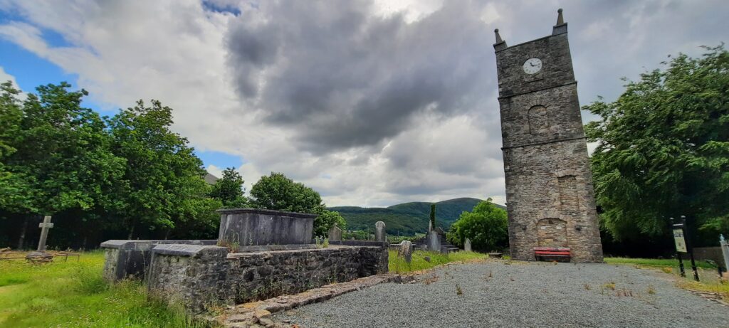
On the way into town, we passed St. Anna’s Church and Graveyard, although all that remains of the church is the belfrey or clock tower. The Millstreet Blog gives details of the history behind the church and its demolition. It’s a beautiful site and well worth visiting.
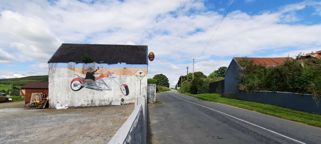
Finally, on our journey to Millstreet in the car that morning, we had passed this pub with an amazing mural of a mouse biker on the side of it. So we went back to take a photo. If you decide to take a photo of it, be aware that there is someone living in the pub. They were actually very nice and stopped for the chat when they saw me.
Apparently, the mural was painted by Brian O’Leary from Millstreet, and the owner purchased the pub when he returned from Australia. The pub is known as D’Outback (a fitting name), and it’s currently listed for sale on Property.ie.