Day 2: Crow Hill to Mountain Barrack
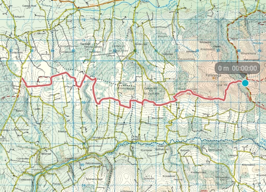
Length: 17.5km
Time: 4 hours, 42 minutes including lunch breaks
Logistics
Once again, we were lucky with the weather for Stage 2 of this lovely walk. We met in Ballyporeen at 10 o’clock in the morning, each in our own car, then drove the few minutes to Mountain Barrack where we left one car. After checking the contents of our back packs, putting our boots on and leaving sneakers in the parked car for when we came back, we drove back to Crow Hill.
We parked the other car at the base of Crow Hill (the Sheep Pens) and started out on our 17.5k walk. We climbed over a stile and followed a stony path that skirted around the base of Crow hill.
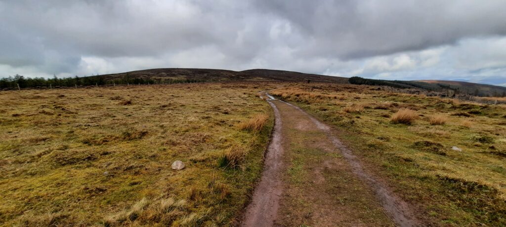
A sign post directed us down off the hill along a soft, dry turf path. Far off in the distance, we could see windmills on the horizon slowly turning. Green fields stretched in every direction. There’s no doubt, but the views along this section are stunning and, with no steep climbs involved, they are very accessible. The route was surprisingly easy to follow, the sign posts having had hi-viz orange stickers applied to them in order to follow the recently altered track.
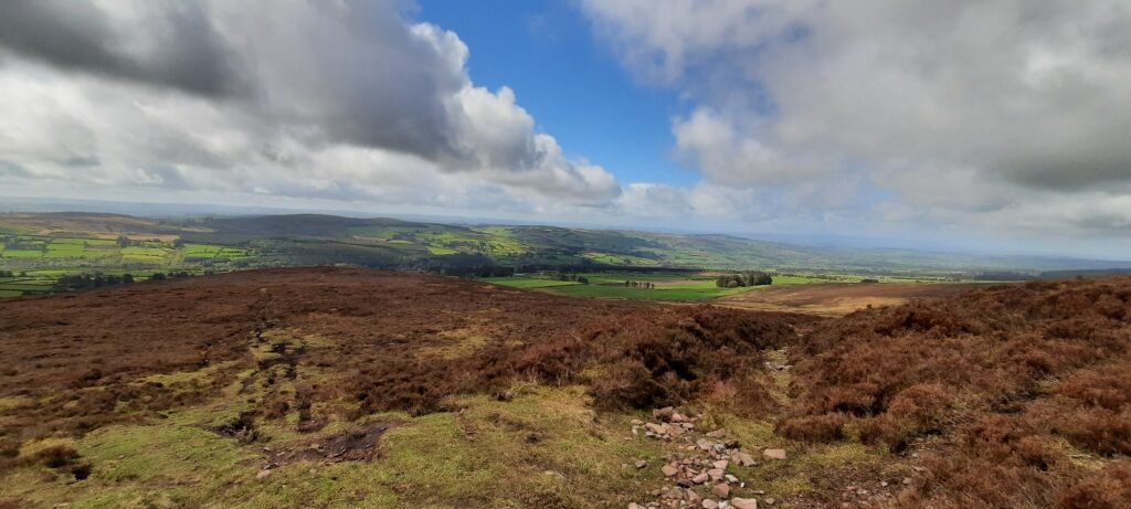
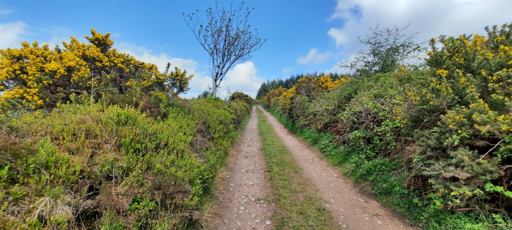
Once off the hills, we found ourselves walking down quiet country laneways with grass growing down the middle. The scent of coconut in the air from the gorse on either side brought me back to summer nights out with tall glasses of malibu and grapefruit.
There wasn’t much time to be dwelling on the thoughts of alcoholic beverages as we soon realised we’d taken a wrong turn and were heading downhill towards Araglin. We retraced our steps uphill and came to a trail marker (GPS 52.224004, -8.098186) that pointed us back up the road heading for Grange Cross. There was no orange marker on the way marker and we were a bit dubious about it as the Viewranger track that we had downloaded was showing us a route via the Cul de Sac we were now standing at the entrance to.
After a bit of a debate, we made the decision to trust Viewranger and follow its route as, if the way marker was incorrect, then we were going to have to go a bit out of our way to get back on track.
That was to be the last trail marker we saw for a while because it wasn’t long before it dawned on us that we had, inadvertently, begun to follow the ‘old’ Blackwater trail.
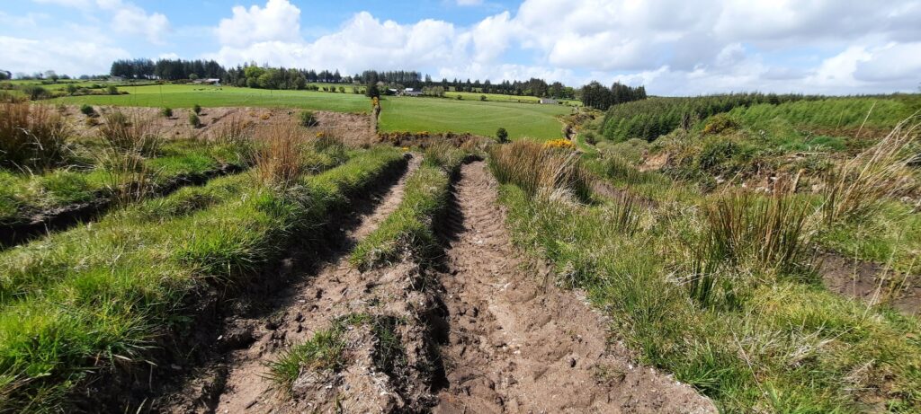
I must warn you that, if you see the trail marker I’ve given the GPS coordinates for (three paragraphs back), then follow it. Follow it back up the main road, especially if you’re walking in winter, because otherwise you’re going to find yourself in a big, muddy field that is a maze of gorse. And, chances are you’ll have to swim across the large tyre tracks pictured below. And, should you choose to walk the grassy verges along the tyre depths instead, then watch out for the cow dung and hoof prints. Cows are heavy, and they don’t mind sticking their legs in mud all the way up to their knees leaving marshy holes that fill with puddles of muddy water that will suck your feet right in.
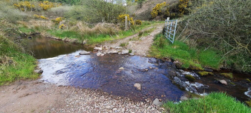
And, of course, if you successfully navigate the gorse maze, the tyre tracks, and the treacherous cow tracks, then you’ll have to cross this stream, which is lovely and is quite shallow when the weather is dry (as it had been), but which I’d imagine is a lot deeper in the winter.
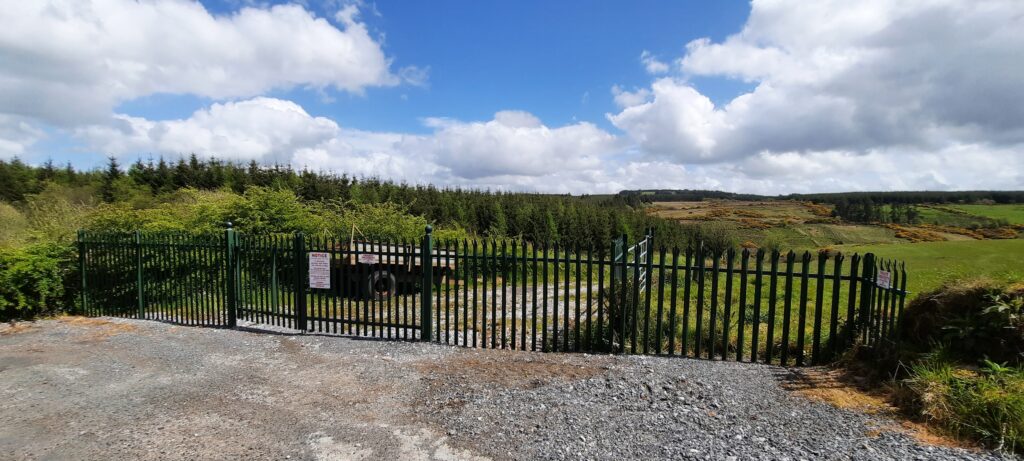
After crossing the small stream, we found ourselves on the opposite side of this palisade fencing which, thankfully, had a low ditch to the side that we were able to climb over to find ourselves on another quiet, country road.
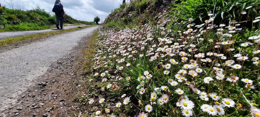
A road whose sides were carpeted in thousands of daisies. Honestly, my photograph doesn’t do sight justice, but we were both taken aback by the amount of beautiful daisies in full bloom along the sides of the road.
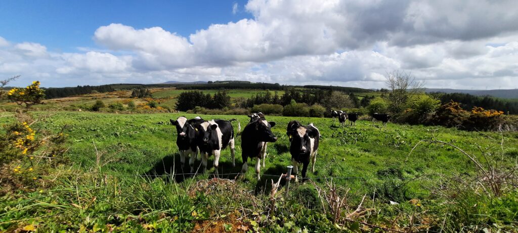
Of course, this wouldn’t be a proper Irish blog post if I didn’t include a photograph of some farm animals, and I LOVE cattle! They’re always so curious when you walk up in front of them.
May is the time of year for bluebells, and there were lots in the hedges along the route.
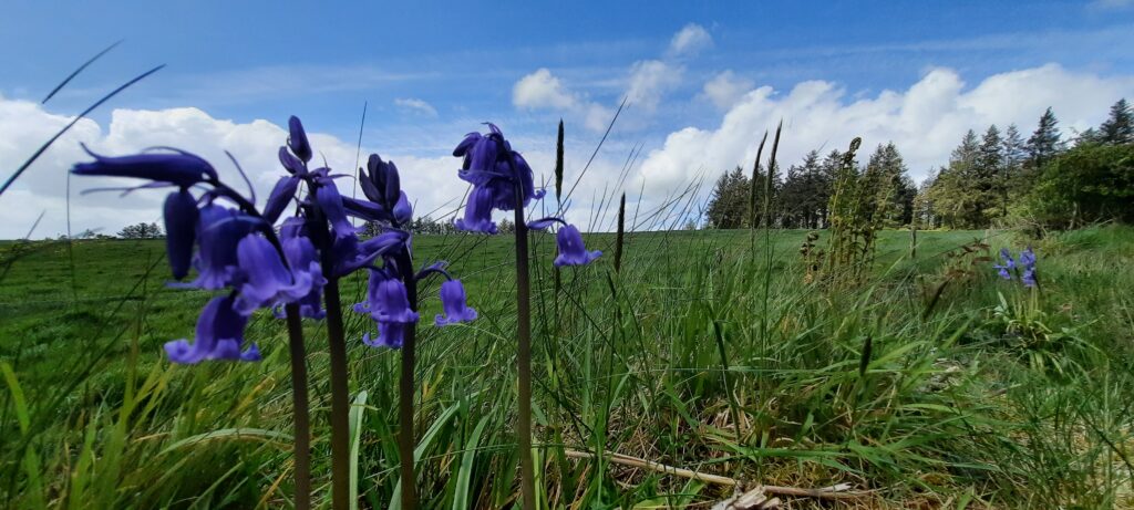
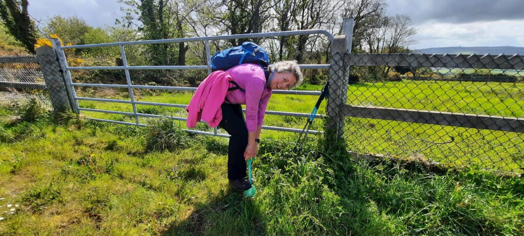
Photo opportunity! We found a bright green toy plastic shovel hanging from a fence so I decided to do a bit of digging. I wasn’t very successful.
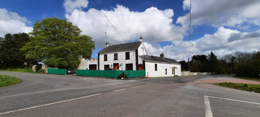
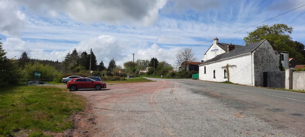
Just over four and a half hours later, we arrived back at Mountain Barrack where, if the pub had been open, we could have had a (non-alcoholic) beverage. Unfortunately, due to COVID restrictions, that wasn’t a possibility.
The next stage is from Mountain Barrack to Fermoy so we are currently researching that and making sure we download the most recent route instead of the old one.
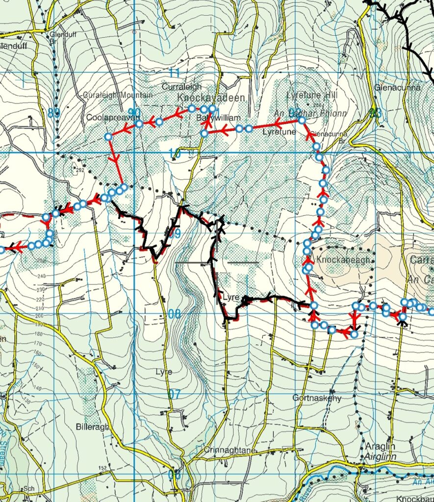
Below is the difference in routes. Our route is the one in black. The newer route is the one in red.
Review
Again, this is not a difficult walk. There are no climbs or heights involved and anyone with a decent level of fitness and stamina will be more than capable of it. The views are magnificent and we met hardly any traffic on the back roads and laneways. There is a house about half way en-route with a signpost for refreshments, but it wasn’t open when we passed, and I wouldn’t rely on it. So, as for the first stage of this walk, make sure to stock up on food and water before leaving.
